Spatiotemporal analysis of team play actions
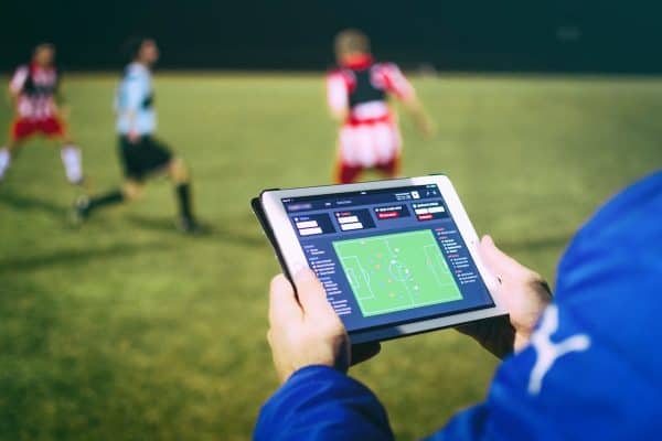
We aim to automatically detect similar team play actions using the geographical model QTC.
A demo software (graphical user interface) will be developed showing proof of concept in e.g. ball screen actions in basketball.
We will evaluate possible partnerships with companies and teams in order to integrate this technology in existing platforms.
A geographical model (QTC) has been developed at Ghent University during the past decade.
There is an increased focus on tracking technologies (video cameras, GPS and indoor location). generating positional data of players on the court.
Current sports team analysis is still limited to basic (team and individual) statistics.
The killer application of the geographical model can be found in advanced sports analytics based on spatiotemporal data of teams.
Automatically analyzing similarities in team play makes it possible to compare training with in-game data, and gives insights into the style and frequency of particular actions on the court.
Analyzing complex team actions based on data instead of the human eye only wins time and provides relevant feedback to trainers, coaches, club managers, fans, etc.
It is our objective to continue the research in this area of geoscience leading to more precise and fast analysis.
We are currently looking for new partners and funding opportunities to develop and integrate the tool further.
Download the infographic of this project
Prof. Dr. Nico Van de Weghe
Contact us for more information about this project


